Hart's Location
Gateway to Arethusa Falls, New Hampshire's Highest Waterfall
Part of the Conway area
Visit Conway guideWhat Hart's Location is like
From the community
Nearby
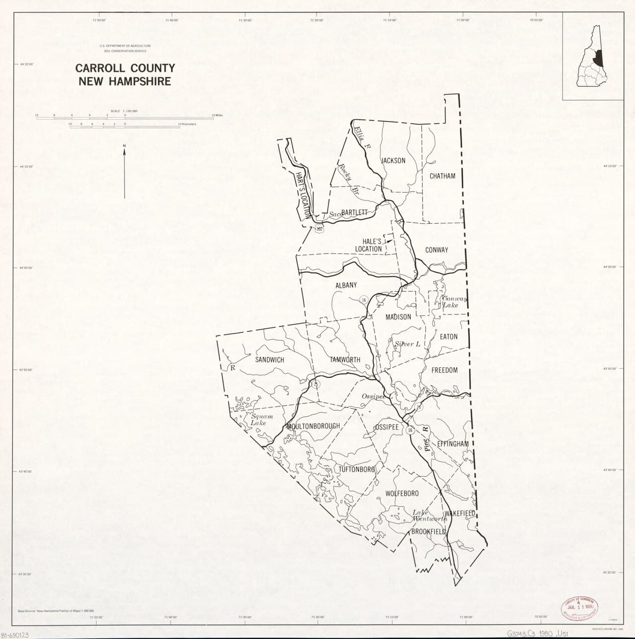
within 25 miAbout Hart's Location
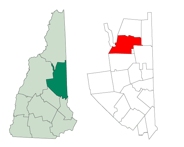
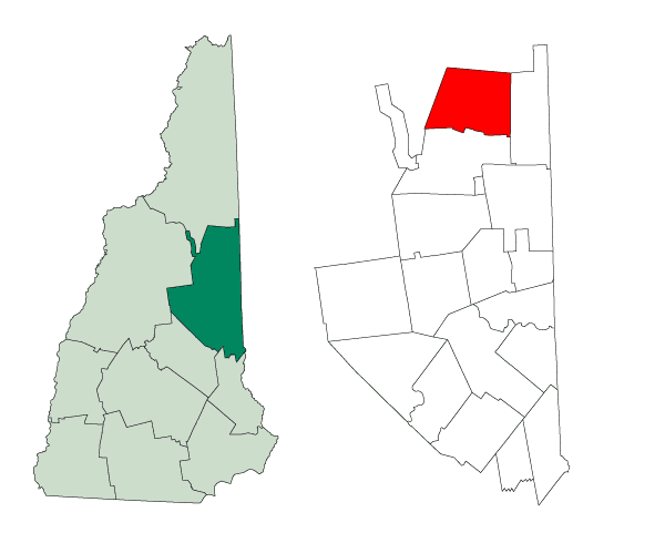
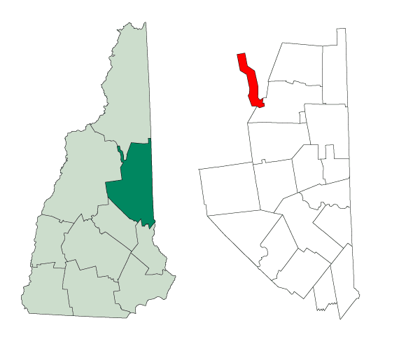
Hart's Location stands as New Hampshire's smallest incorporated town with just 41 residents spread across the mountainous terrain of Carroll County. The town operates with minimal infrastructure, relying on the Conway School District for educational services while maintaining its own local government structure. The Notchland Inn serves as one of the few commercial establishments within town boundaries. Crawford Notch State Park dominates much of the town's landscape, preserving the dramatic mountain pass that cuts through the White Mountains along US Route 302. The park encompasses approximately 5,775 acres and provides residents with direct access to hiking trails, including portions of the Appalachian Trail. The Willey House Historical Site within the park commemorates the tragic 1826 avalanche that killed the entire Willey family, marking one of New Hampshire's most famous natural disasters. Dry River Campground offers camping along the Saco River, while waterfalls like Arethusa Falls and Silver Cascade draw visitors through town. Life here centers around the realities of extreme rural living in the White Mountains region. Residents deal with seasonal road conditions, limited services, and the logistics that come with such a small population base. The town's location provides unparalleled access to mountain recreation right outside the door, though daily necessities typically require trips to larger communities in the area. The constant flow of hikers and tourists heading through Crawford Notch adds a seasonal rhythm to this otherwise quiet mountain community.
Why Hart's Location?
- New Hampshire's smallest incorporated town by population
- Direct access to White Mountains hiking and outdoor recreation
- Minimal local regulations due to small government structure
- Low population density with significant privacy
- Part of Conway School District despite small size
Quick Facts
Weather in Hart's Location
Foggy
Today
70 / 55
Tue
68 / 54
Wed
77 / 57
Map
Living in Hart's Location
What you need to know about making Hart's Location your home.
Major Employers
Schools & Education
Hart's Location is part of the Conway School District (SAU 9).
Cost of Living
Housing costs (est.) reflect the White Mountains location and limited inventory in this 41-person town. Property taxes are typical for Carroll County, though the small tax base means limited municipal services.
Real Estate
$450,000 (est.) median home price
$18.50 per $1,000 (est.) property tax rate
No state income or sales tax in NH
View listings in Hart's LocationCommute Times
School District
Parks & Public Spaces
Events near Hart's Location
Explore Hart's Location

Stay in the loop on Hart's Location
Get weekly updates about events in Hart's Location and nearby — delivered free to your inbox.
Free weekly newsletter. Unsubscribe anytime.